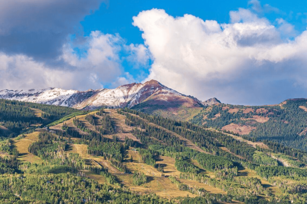
Snow forecast takes shape for Aspen-Snowmass
Winter

Winter

Roaring Fork Valley residents might have plenty of incentives to give their ski passes a good workout this winter, according to meteorologists.
Aspen Weather, a hyper-local forecasting service focused on the middle and upper Roaring Fork Valley, foresees snowfall coming in at 10% above average this winter, Oct. 1 to May 1, according to its winter outlook.
Open Snow, a national forecasting service tailored toward skiers and riders, foresees average to slightly above-average snowfall for the Central Colorado Mountains.
The Old Farmer’s Almanac, which provides more generic outlooks, is calling for average precipitation for the part of the Intermountain West that includes the Aspen area.
Aspen Weather partners Cory Gates and Ryan Boudreau hosted their annual winter outlook party Saturday evening and delighted the crowd with a forecast that indicates the four Aspen-Snowmass ski areas will see above-average snowfall for a second consecutive year.
Meteorologist Gates forecasted 350 inches at Snowmass from Oct. 1 to May 1. That’s above the average of 318 inches but below the 370 inches collected last year.
Gates foresees 360 inches at Aspen Highlands in 2022-23, above the average of about 320 but below last season’s 380 inches.
Aspen Mountain is on tap for about 315 inches of snowfall compared to an average around 285 inches, according to Gates. Last season Aspen Mountain collected 324 inches.
There was no specific forecast for Buttermilk, which has the lowest elevation of the four upper valley ski areas, but Gates forecasted 170 inches at the Aspen Water Plant compared to a normal range of 146 to 156 inches.
Boudreau said his partner believes the winter will get off to a slow start, with little snowfall in October; it likely will arrive late in November.
“Cory sees it coming in later like we did last year,” Boudreau said.
Gates picked the 2010-11 winter as a potentially good template for what will unfold this year. Similar atmospheric conditions are shaping up this fall as what occurred prior to that winter, according to his presentation.
In the 2010-11 winter, the Aspen Water Plant, located at 8,148 feet in elevation, received 221 inches of snow while the ski areas scored about 400 inches in 2010-11. A replay would make skiers and riders quite happy.
“However, that year brought the ‘Snowiest April’ ever in Aspen with 55.9 inches of snow,” Gates said in his presentation. “April still counts but that’s a ridiculous total, it also didn’t occur in the ‘Heart of Winter.’”
Gates also shared that the odds are typically in favor of Aspen skiers and riders. Only eight of the last 50 winters have had 15% or greater below-normal snowfall, according to his research of Aspen Water Plant records. “This means 84% of the time over the last 50 years we have been OK,” he said in his presentation.
Last season, the actual snowfall totals were a bit higher than Gates’ forecasts, but no one complained. This year, the 10% increase above normal is slightly less than what he forecasted for last season. But there are some factors that add to the unpredictability. A La Niña to start this winter, with colder water temperatures in the Pacific Ocean, will yield to warmer water temperatures later in the winter.
“(Gates) said it’s definitely a trickier forecast this year,” Boudreau said.
Subscriptions are available to the service at www.aspenweather.net.
Sam Collentine, chief operating officer and meteorologist at Open Snow, said it appears this winter will be influenced by another La Niña, so he has been researching how that pattern has influenced past Aspen winters.
“For the upcoming 2022-23 season, confidence is growing that a third consecutive La Niña will occur this winter — something that meteorologists have termed a “Triple Dip La Niña,” he wrote in an email.
“Looking back at the seven previous winters dated back to 1979 that featured stronger La Niña events, four winters featured average snowfall and three winters featured above-average snowfall in central Colorado,” Collentine said. “Putting all of this together and that Aspen received average snowfall over the past two La Niña winters in 20-21 and 21-22, we’re likely looking at an average to slightly above-average winter season for snowfall in the Aspen area.”
The National Oceanic and Atmospheric Administration’s seasonal precipitation outlooks for November through March place the Aspen area at “equal chances” of precipitation levels below or above average. Aspen sits just slightly north of a large area expected to have below-average precipitation.
Collentine said three to four storm cycles over the course of the winter “really make or break the season.”
“The 21-22 winter season was the perfect example with a tremendous late-December storm cycle, lighter snowfall in January and February, followed by an uptick in storms in March and into April,” he noted.
If Aspen falls outside of heavy snowfall in three to four cycles, it could end up with average rather than slightly above-average snowfall, he said.
His service is available at opensnow.com.
The Old Farmer’s Almanac, which bills itself as America’s oldest and best-selling farmer’s almanac, provided only a teaser of its winter outlook online because it wants people to buy its print publication.
For the Intermountain West region, it said, “Winter will be warmer than normal, with the coldest periods in mid-November and early February. Precipitation will be above normal, with above-average snowfall in the far north and far south. The snowiest periods will be in mid-November, late December, early to mid-January, and early February.”
With all three sources predicting slightly better-than-average snowfall, the odds are in Aspen skiers’ favor.
By: Scott Condon I Aspen Daily News I September 30, 2022